


V135 | 06 Dec 16


118
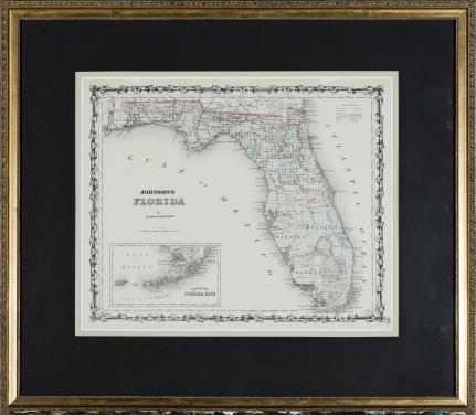
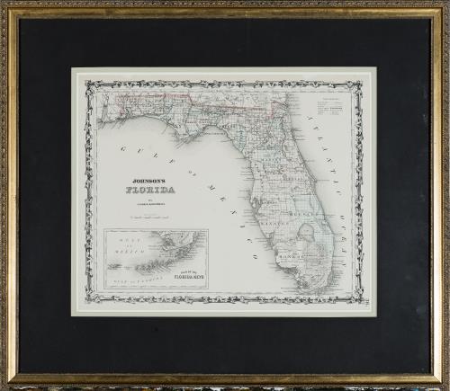
Johnson & Browning, New York, 1861. Carte de la Floride.
Estimate
150 CHF
Description
Johnson & Browning, New York. Carte de la Floride.
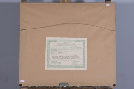
Gravure vers 1861, certificat d'authenticité au dos.
33x39 cm.
This map of Florida was published by Johnson & Browning of New York in 1861. Compiled, drawn and engraved under the supervision of J.H.Colton and A.J. Johnson, this map was part of johnson's New Illustrated Family Atlas. The coloring is a combination of block printing and hand stencil.


